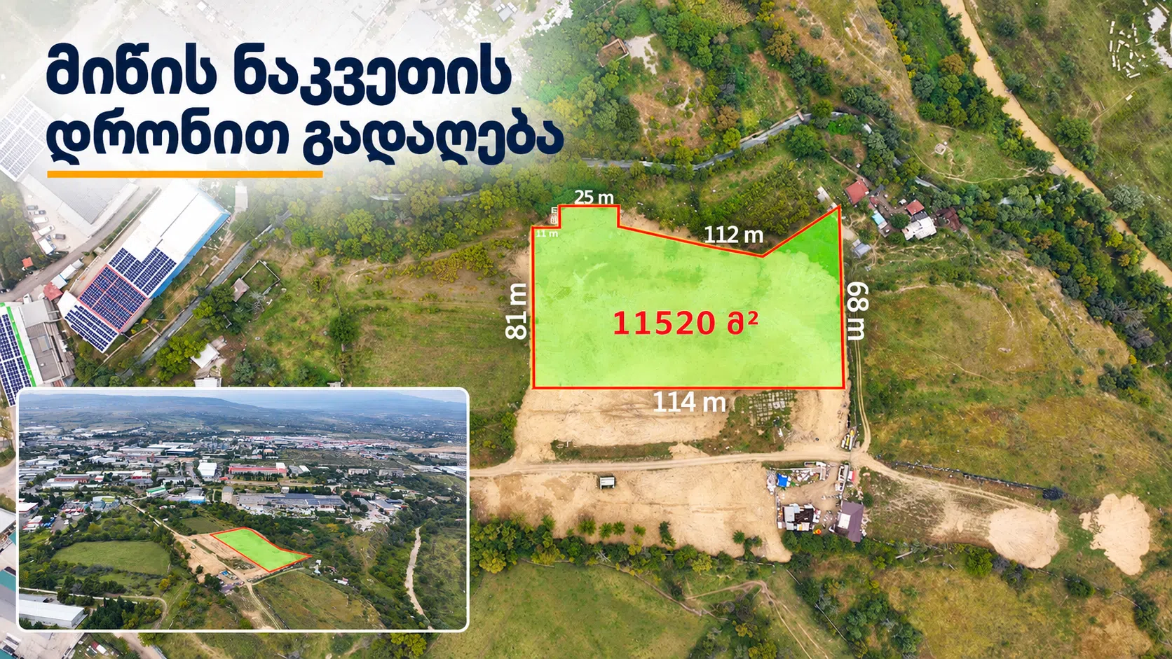
Drone Filming for Land Plots: How to Showcase Land for Sale
When selling a plot of land, simply posting an address and a few photos is often not enough. Potential buyers want to know where the plot is located, how large it is, what the surroundings are like, and how to access it.
Drone filming brings all this information together in a single piece of content. Aerial photos and video show both the plot itself and the surrounding properties, landmarks, and access roads. This helps buyers better assess the plot’s location and surroundings.
What Does Drone Filming Show About a Plot of Land?
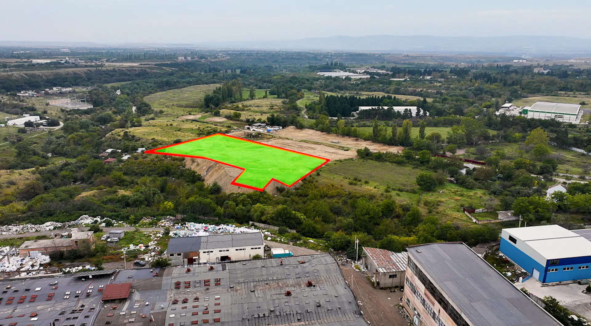
Drone filming can show the land from different heights and angles. Lower-altitude views reveal the plot’s shape and surroundings, while higher views show its location and the wider area.
The footage can show:
- The plot’s overall appearance and shape;
- The scale of the land;
- The plot’s location in relation to its surroundings;
- Nearby roads and landmarks;
- The entrance and access road;
- Surrounding neighborhoods, infrastructure, or views.
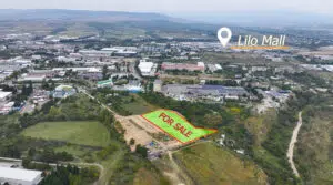
Any annotations showing scale or other details should be based on information provided by the client. A well-prepared photo helps potential buyers see the plot’s location and surroundings in a single image.
Why Should Nearby Landmarks Be Visible?
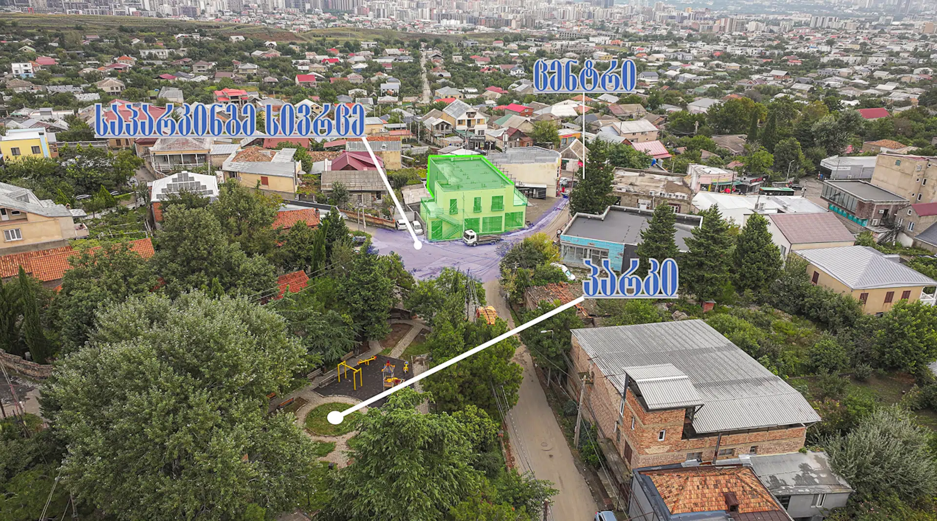
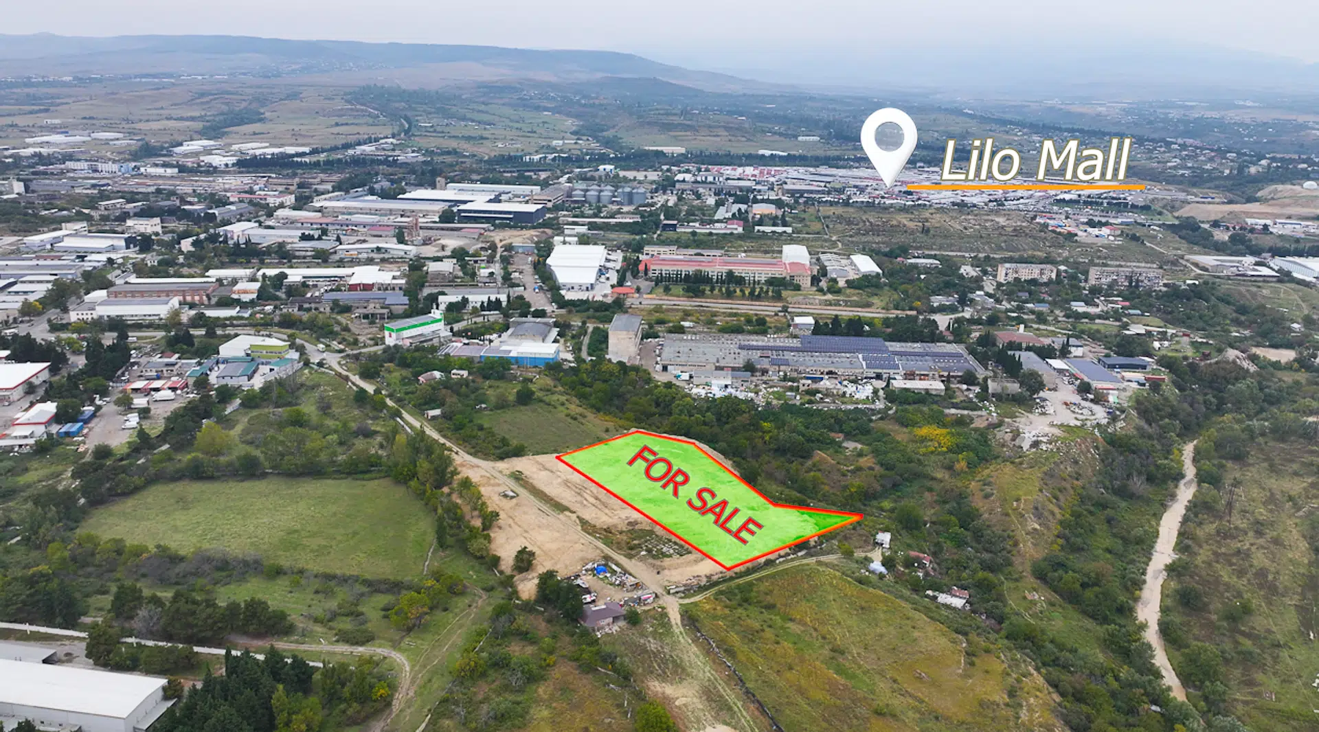
When assessing a plot of land, its location matters just as much as the land itself. Buyers may want to know how close it is to a main road, a town or village, shops, or other important places.
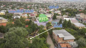
Drone photos and videos provide a visual overview of these surroundings. Where needed, nearby landmarks and their directions can be marked on the images or footage. Any distances shown should be verified in advance and based on reliable data.
What Is an Orthophoto, and How Can It Be Used?
An orthophoto is a processed aerial image that provides a unified overhead view of an area. It helps buyers understand the plot’s layout, its surroundings, and the positions of different features in relation to one another.
- An orthophoto of a plot of land can be used:
- In a real estate listing;
- On a website or social media;
- In informational materials sent to buyers;
In a project presentation.
If plot boundaries are marked on the orthophoto, they should be based on the cadastral or project data provided. Official documents should be checked to confirm precise boundaries and legal information.
Photos, Video, or Both?
Photos are useful for real estate listings, websites, and informational materials. Video offers a clearer view of how the plot connects to its surroundings, where it can be accessed, and how the land looks from different angles.
- For a plot of land for sale, you can prepare:
- Photos for listings, websites, and presentations;
- Video for websites, social media, and sharing with interested buyers;
An orthophoto to show the overall layout of the land.
The content can be prepared in a horizontal format for websites and YouTube, or vertically for Instagram Reels, Facebook, and TikTok. Deciding on the required format in advance makes planning the shoot easier.
How to Prepare a Plot of Land for Filming
Before the shoot, decide what information needs to be shown. Prepare the plot’s address, cadastral code, boundary data, and a list of nearby landmarks you would like to highlight.
If showing the access road is important, decide in advance where the shot should begin and which route should be shown. If text or markers need to be added to the photos or video, their content should also be agreed upon beforehand.
When planning the shoot, it is also important to consider the weather, lighting, and flight conditions. This helps the filming team choose the right time and capture the views needed.
Professional Drone Filming for Land for Sale
Professional drone filming involves more than capturing a few aerial shots. It is important to establish in advance what buyers need to see, which views will clearly showcase the land, and what formats the seller will need for the final content.
Falcon Dron produces aerial photos and videos of land plots and real estate. Depending on the project’s needs, services can include showcasing the scale of the land, nearby landmarks, and access roads, creating an orthophoto, and delivering the content in various formats.
If you need drone filming for a plot of land in Tbilisi, Batumi, or elsewhere in Georgia, contact us to discuss the photos and videos that best suit your project.
Frequently Asked Questions
What Does Drone Filming Show About a Plot of Land?
Aerial photos and video show the plot’s overall appearance, location, surroundings, access road, and nearby landmarks.
Can Plot Boundaries Be Marked on a Photo?
Yes, boundaries can be visually marked if the relevant data is provided in advance. Cadastral or other appropriate documents are needed to confirm official boundaries.
What Is an Orthophoto Used For?
An orthophoto provides a unified overhead view of an area. It is useful for showing the plot’s layout and surroundings.
Are Photos or Video Better for Land for Sale?
Photos are useful for listings and informational materials. Video offers a clearer view of the land’s location and its connection to the surrounding area. Depending on your needs, both can be prepared.
Where Can I Book Drone Filming for a Plot of Land?
Falcon Dron Provides photography and videography for land plots and real estate in Tbilisi, Batumi, and various regions of Georgia.
Falcon Dron
Phone: +995 591 10 05 42
Email: info@falcondron.com